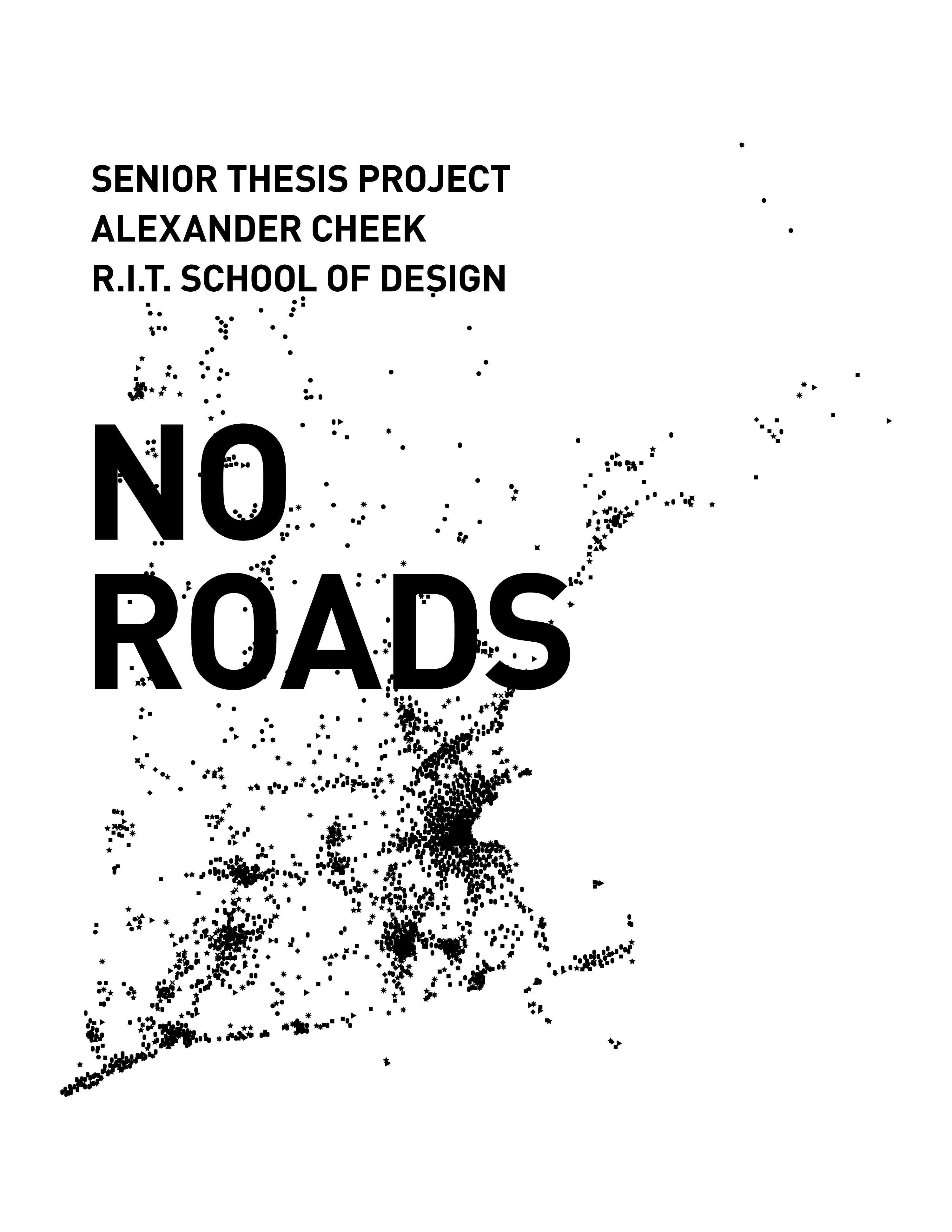
No Roads: A Study in Mapping Social Data
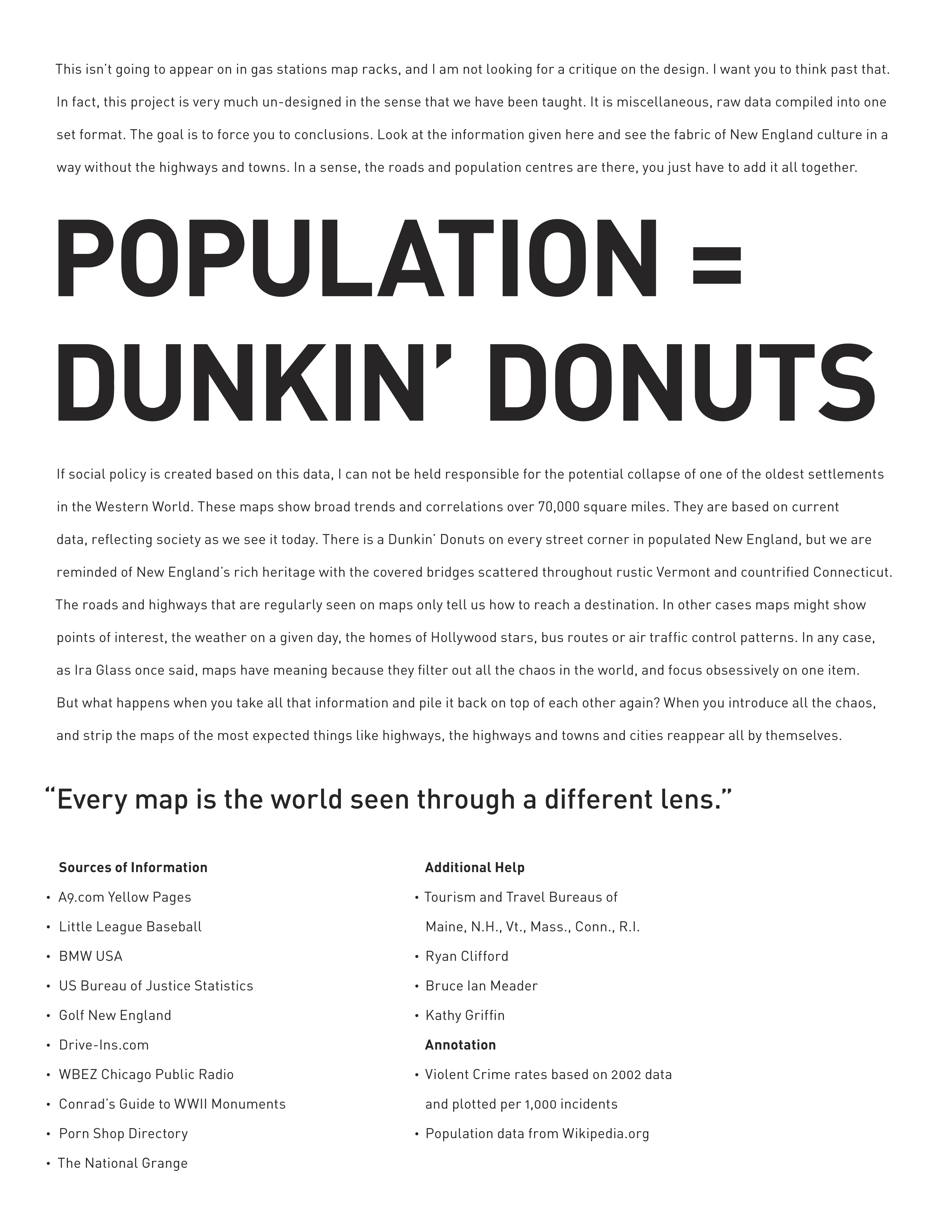
This was an undergraduate project that compiled disparate data with each set screen printed on individual, acetate sheets. Post-bound into a 9" x 12" atlas. Users were encouraged to shuffle data sheets as a way to see overlaps and density. Below are some odd and interesting examples of data combination. Data comes from various sources between 2002 and 2004. Please contact me if you wish to use this in a talk or publication.
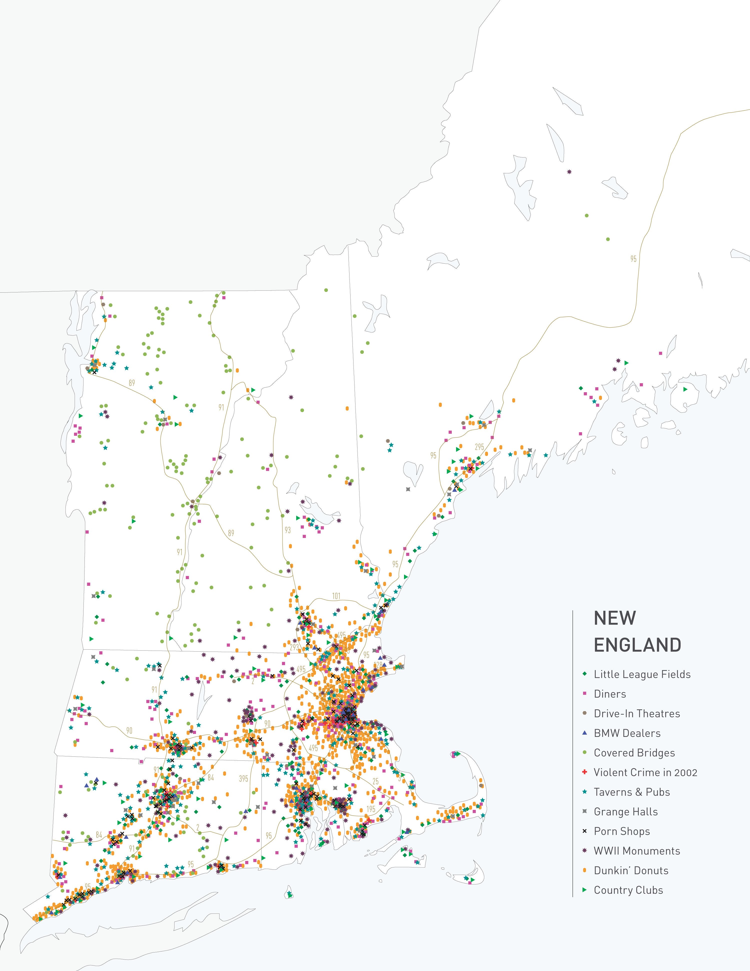
Full Map with All Data
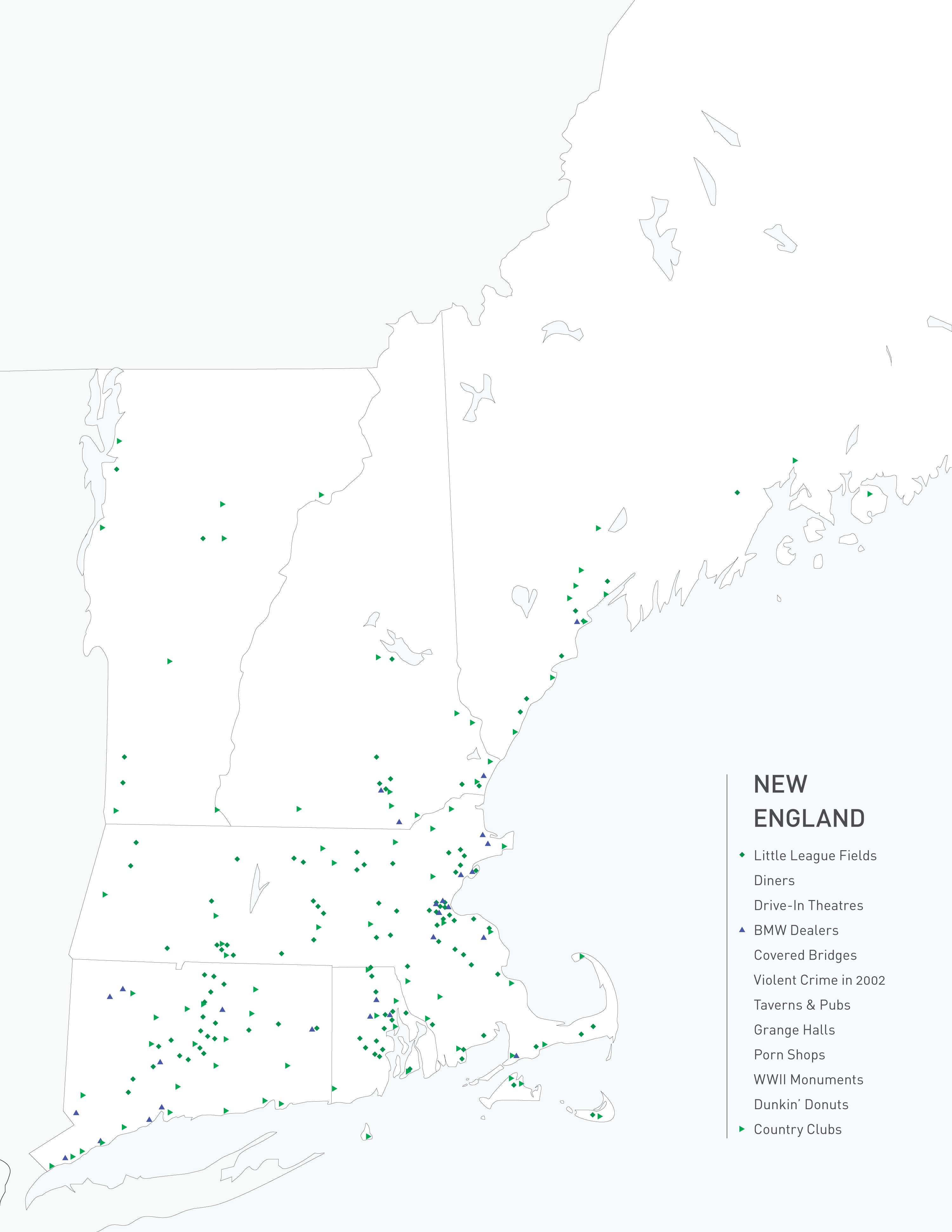
Little League Fields / BMW Dealerships / Country Clubs
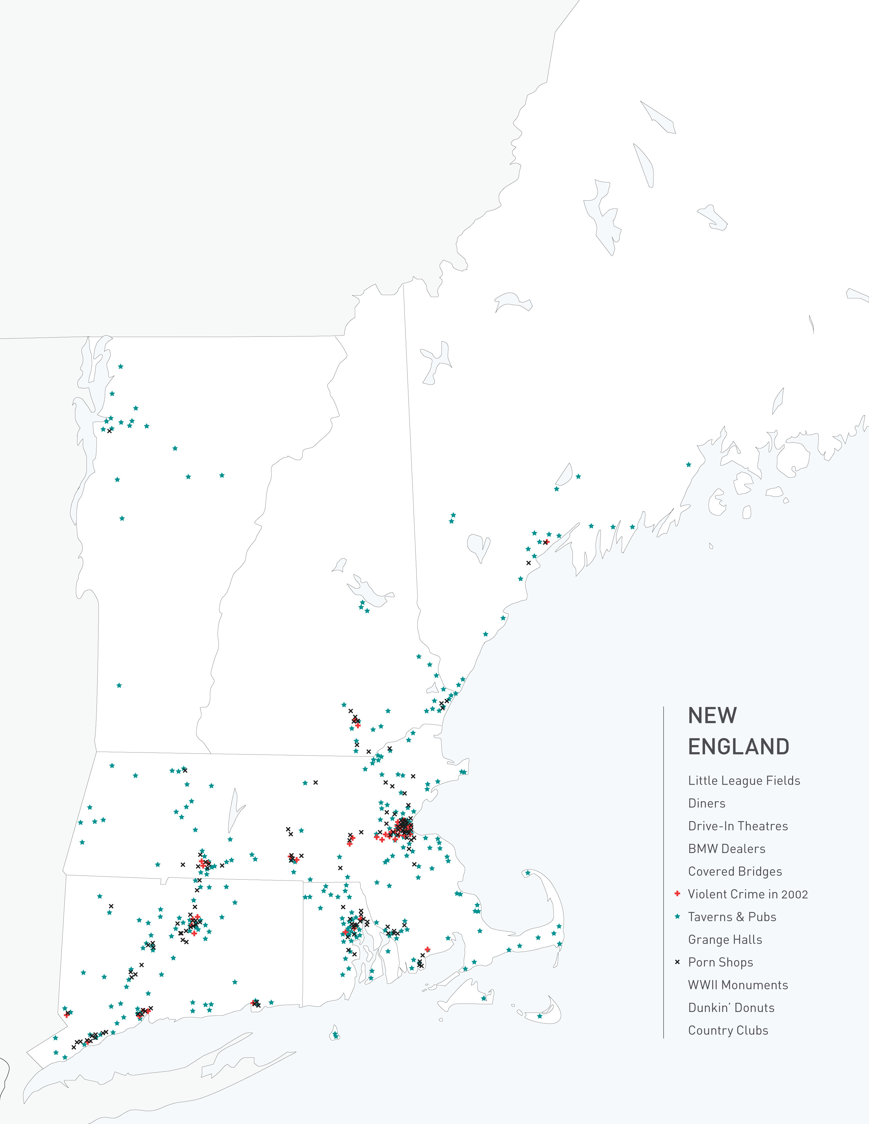
Violent Crime / Taverns & Pubs / Porn Shops
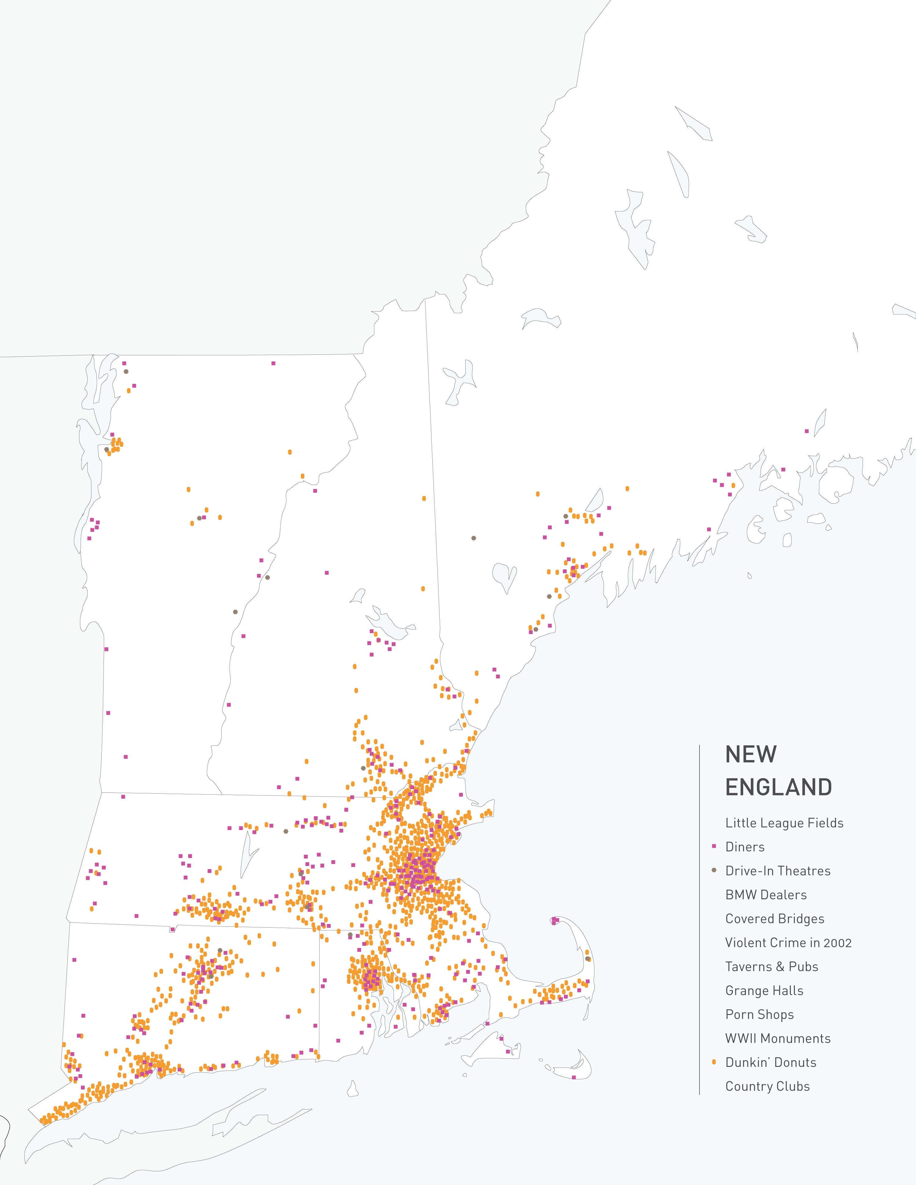
Diners / Drive-Ins / Dunkin’ Donuts
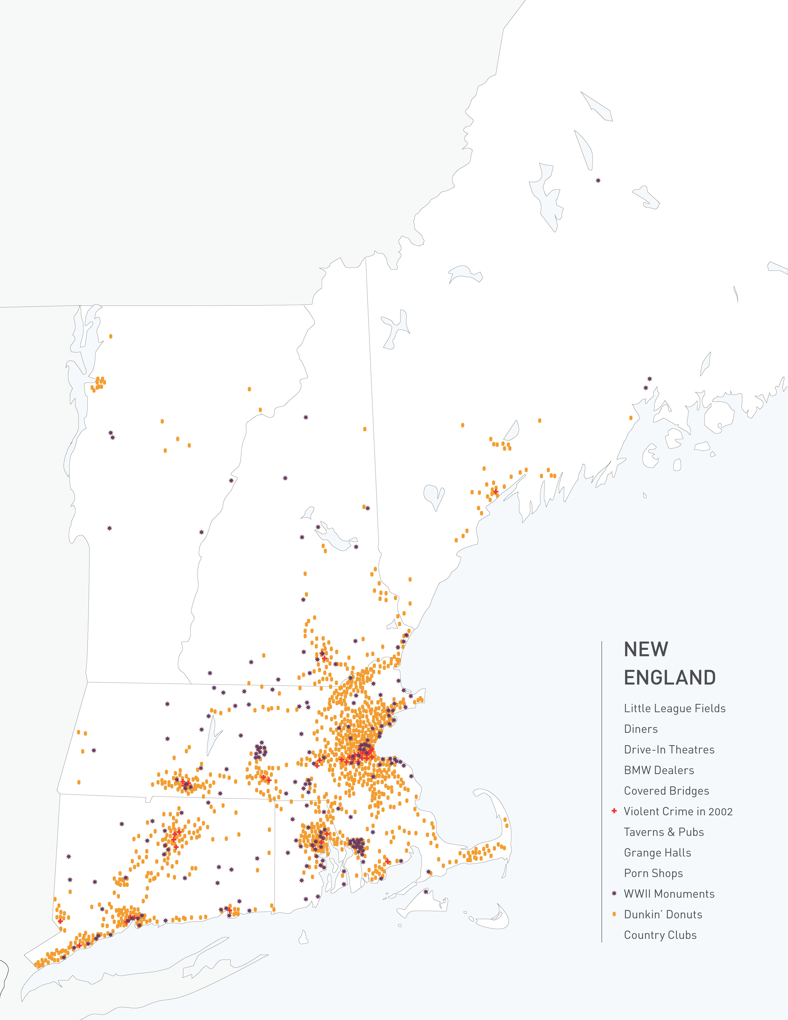
Violent Crime / World War II Monuments / Dunkin’ Donuts
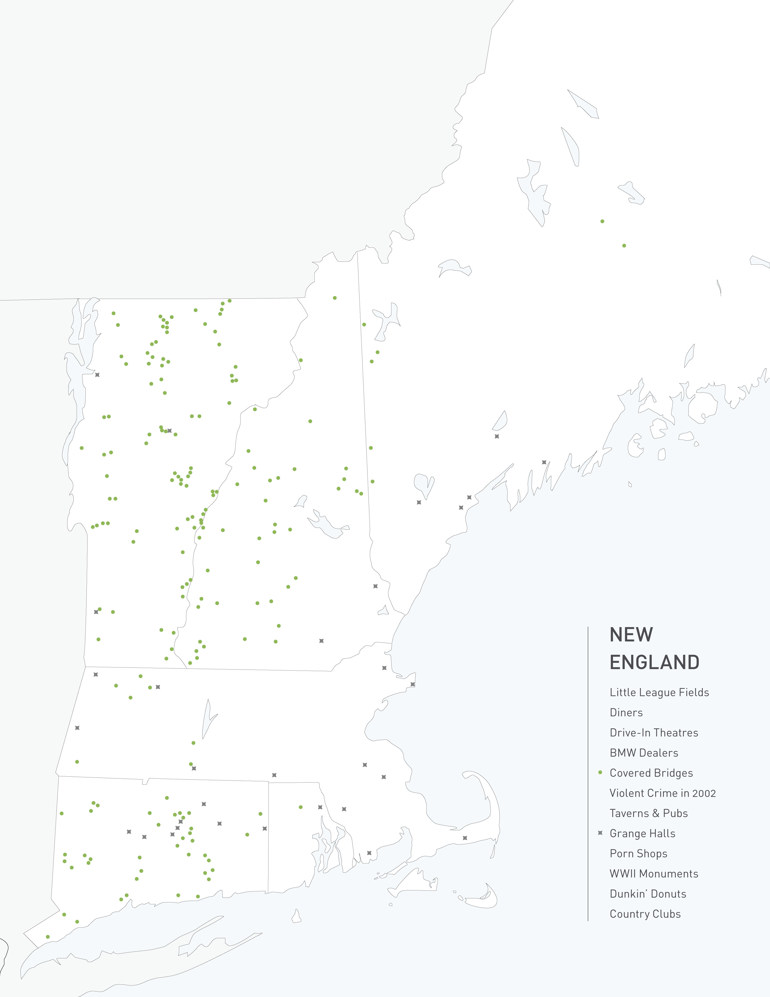
Grange Halls / Covered Bridges
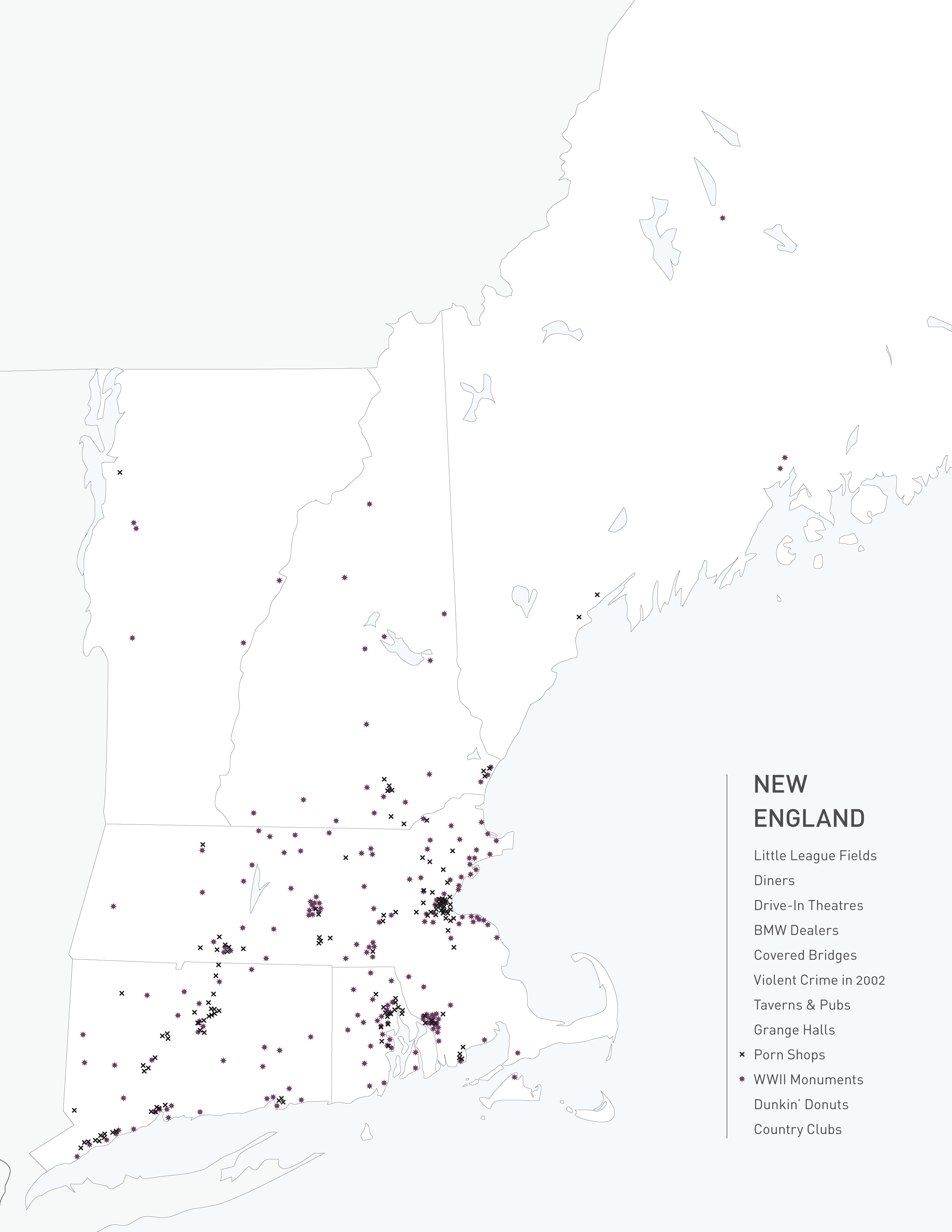
Porn Shops / World War II Monuments
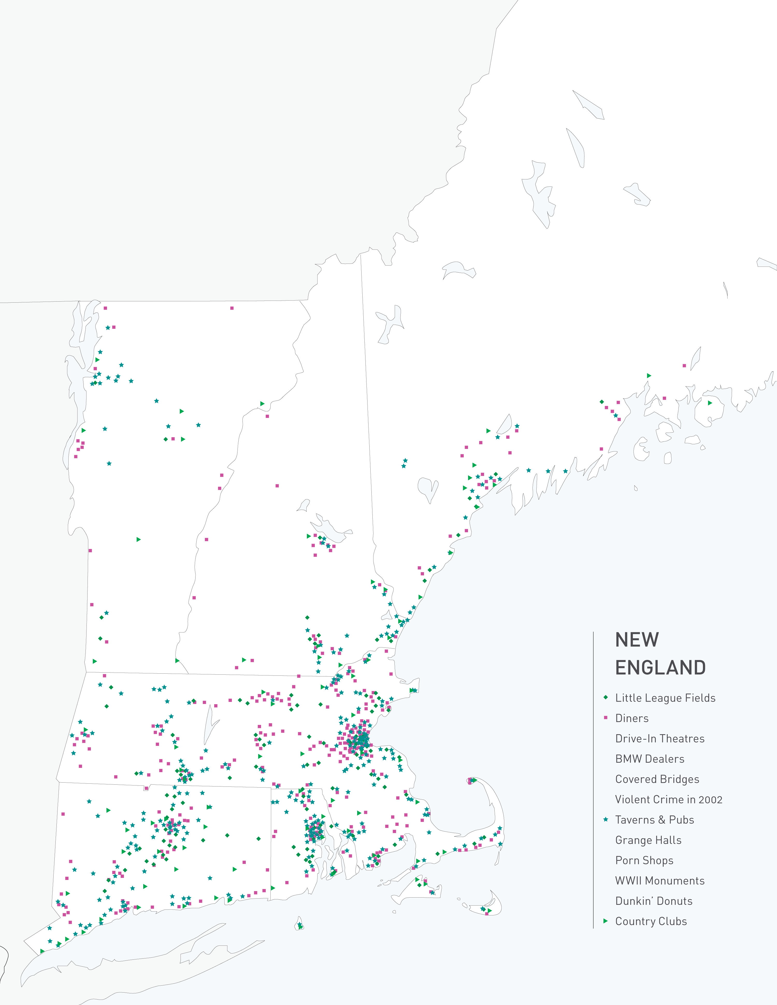
Little League Fields / Diners / Taverns & Pubs / Country Clubs
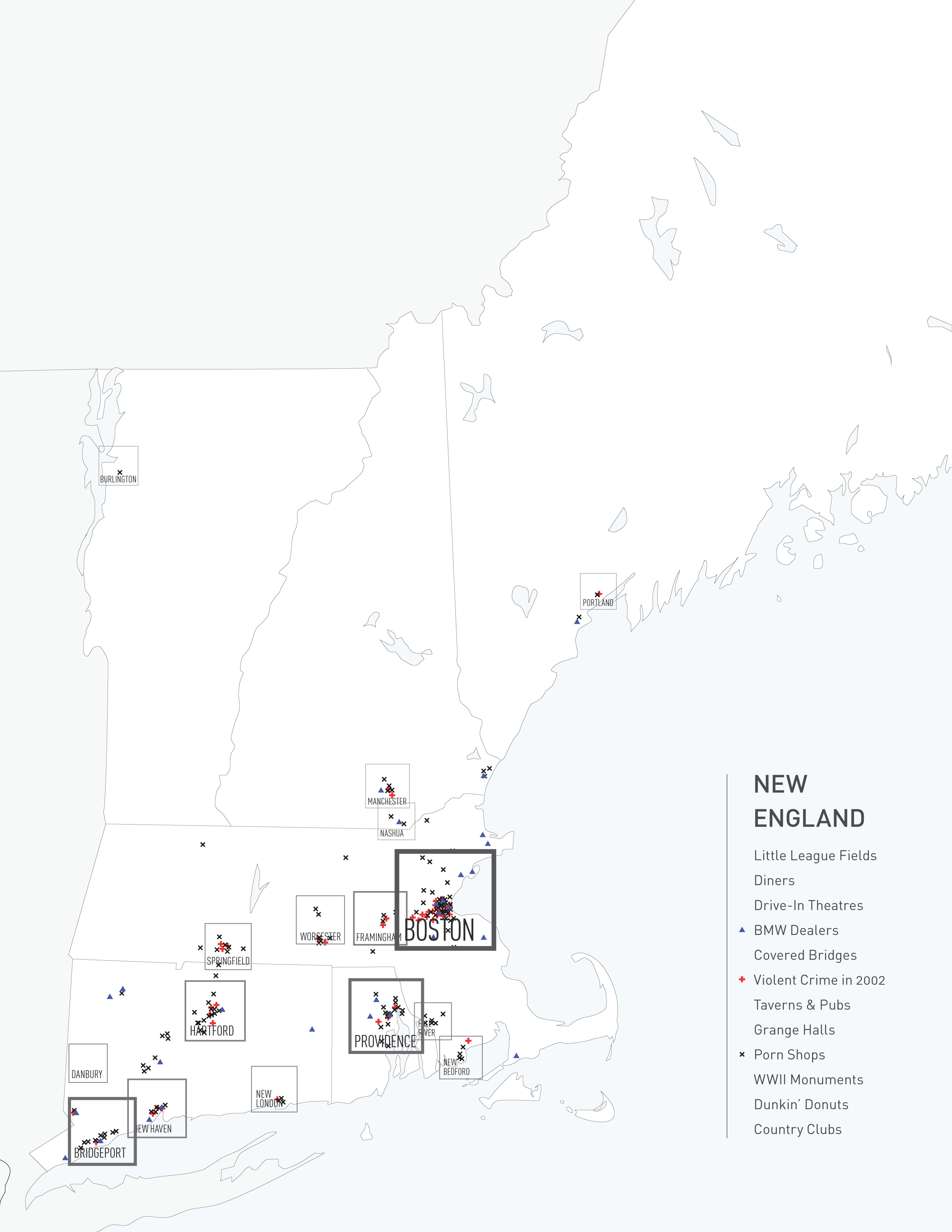
BMW Dealerships / Violent Crime / Porn Shops / Major Cities
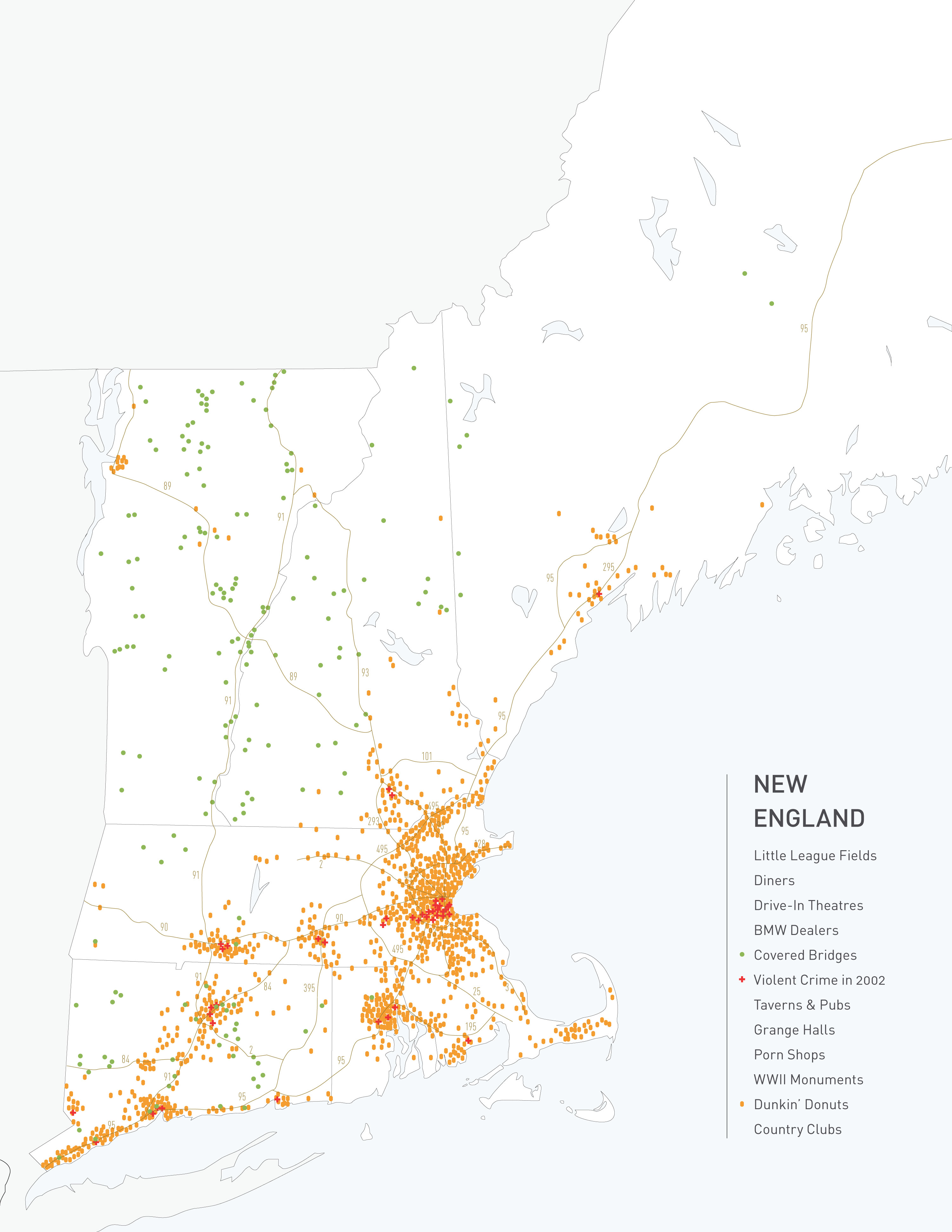
Covered Bridges/Violent Crime/Dunkin’ Donuts/Major Highways
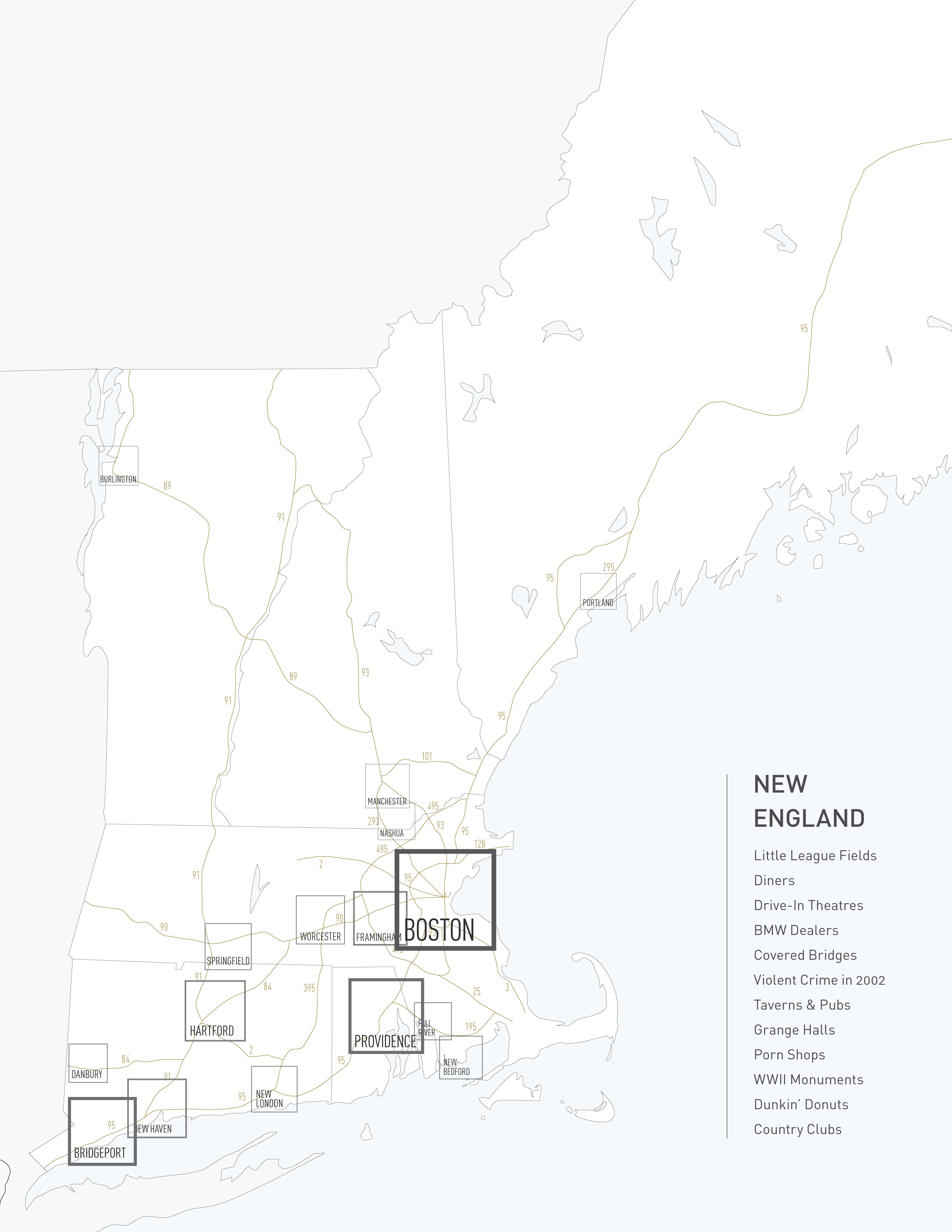
Cities and Highways Only
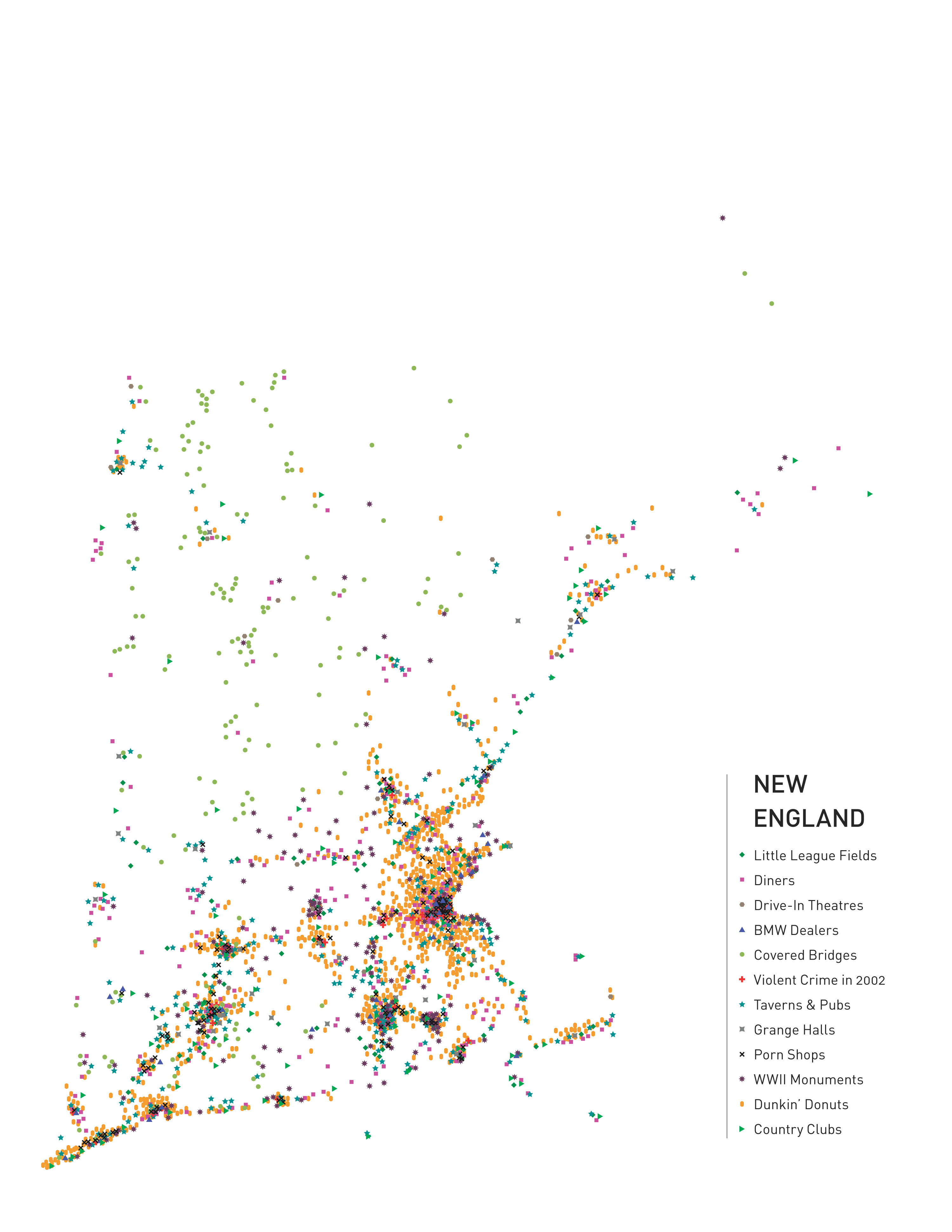
All Data, No Map